From Ground to Model: Making a Site Legible for Design
Three ways of reading ground
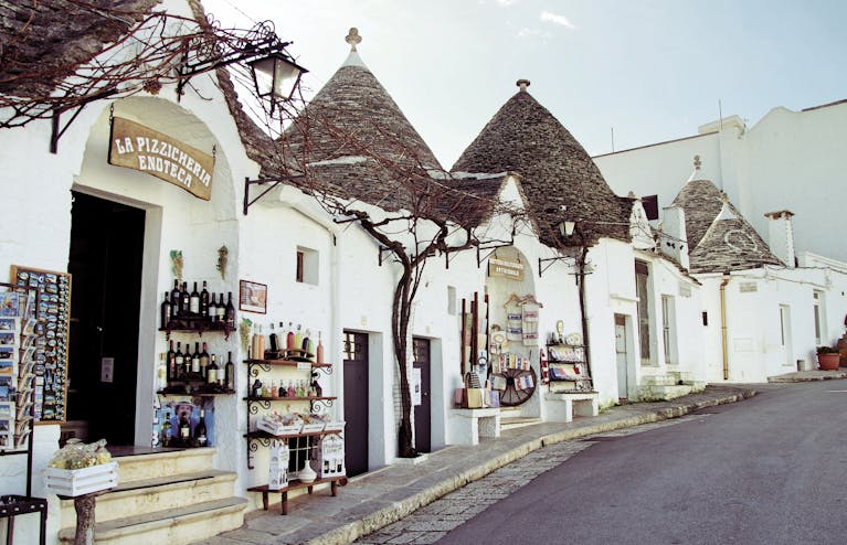
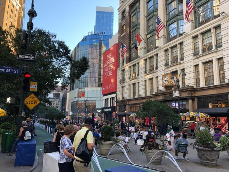
A photograph preserves the ground from one position. A contour drawing gathers changes in level on a flat surface. A model lets the designer turn the scene and inspect relationships outside the camera’s angle. These examples from different files in the INJ Architects archive follow ways of translating a site into material that can be worked with.
Reading the contours
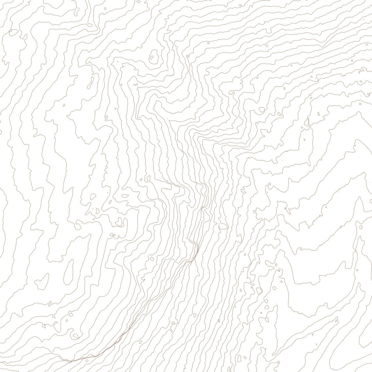
Lines approach one another and spread apart across the drawing, directing attention to where the ground changes more sharply and where a level extends farther. Before placing a mass or route, the survey reference, limits and scale need to be understood. Carrying those references into the model makes it possible to return from the represented surface to its source drawing.
A model that can be questioned
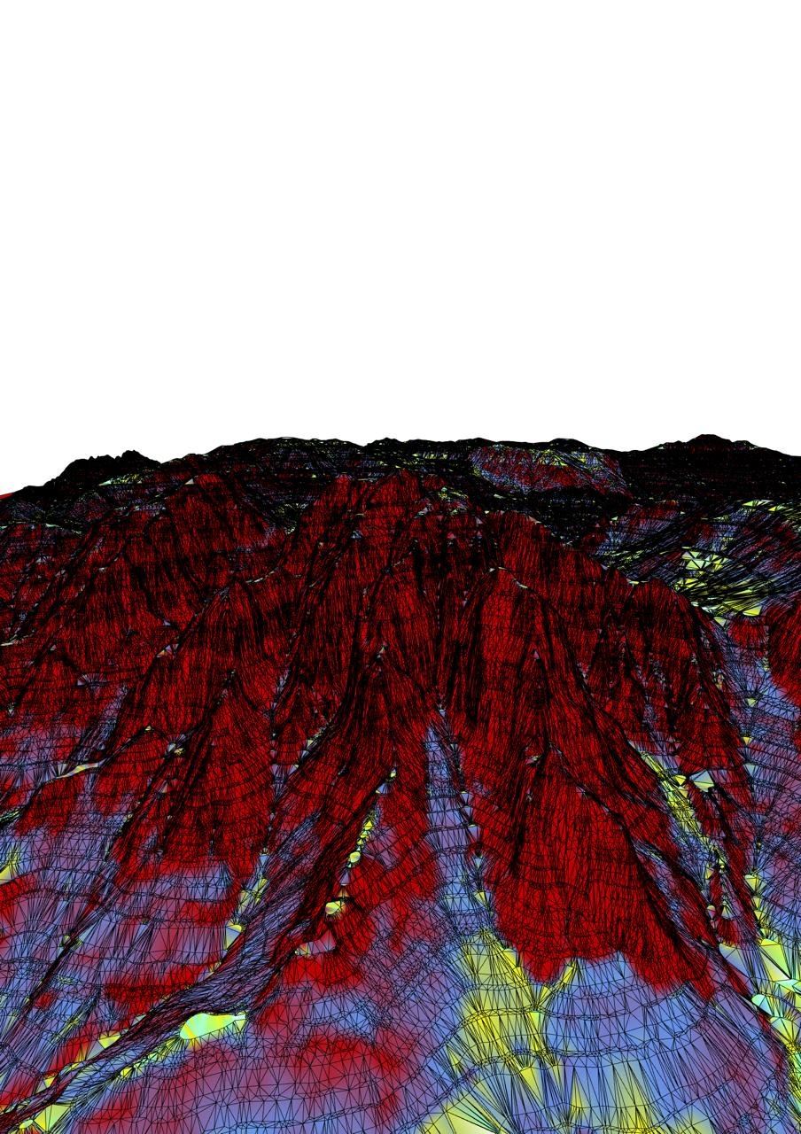
The terrain model uses colour to distinguish parts of its surface. The meaning of those colours depends on the file’s own legend. Work on a particular area benefits from a precise question: where does the route run, and how does the building meet the arrival level? That question can lead to a section or closer view, which can then be checked against its position on plan.
Access and parking within the composition
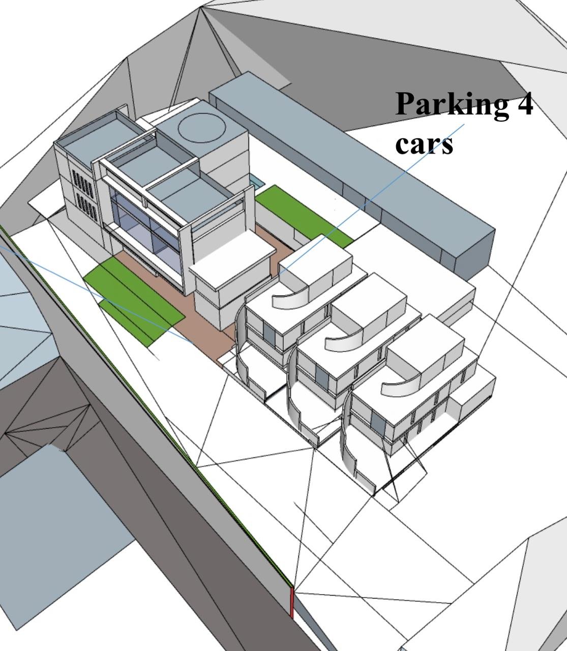
Another model in the archive labels space for four cars beside a building volume. It makes the area occupied by movement visible in relation to the entrance and site edge. Arrival becomes part of the massing study. Reading the plan alongside the model connects the form seen by the designer with the space required in use.
From the model to the language of the site
Construction photographs show details drawn directly on a wall near the work. Such drawings put an explanation beside the thing it describes. From contour to model to site sketch, the need is for a reference that the designer, reviewer and installer can read together. The archive preserves those different forms of communication and the questions each one served.


Images and drawings from the INJ Architects archive. Open an image to view it at full size.