The City from an Airplane Window
An airplane window brings into one frame what would take a journey to see on the ground. At Riyadh’s edge the residential grid thins towards the desert. In Miami, towers, cruise berths and bridges converge on the bay. Between the two views lies a question about city form: where do the rules of building change as development meets open ground or water?
Riyadh at the urban edge
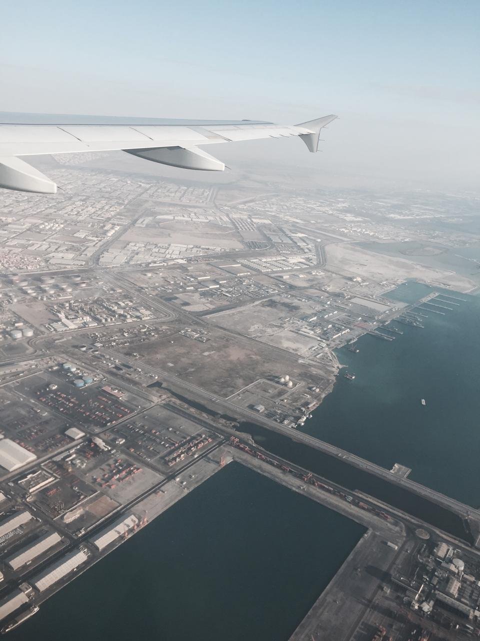
In a photograph from the 2013 Riyadh visit, wide roads cut across tightly spaced residential blocks. Towards the horizon, individual buildings become harder to read while the street pattern persists. Local streets organise entrances and frontages. Wider routes run across several neighbourhoods. The urban edge appears here as a gradual change in density.

At dusk, plot lines recede and a line of movement remains visible across several districts. How someone crosses that road on foot, or reaches it from the neighbourhood, is a question for the ground.

Miami on the bay
Three scales appear together in Miami: a fine-grained network of streets among lower buildings, towers near the bay, and ships and berths occupying a dedicated port. An elevated road passes among them. The aerial view makes the proximity clear; at street level, the question becomes how neighbourhoods reach the water across highways and large plots.

The Florida Department of Transportation’s I‑395 project map places the road in relation to downtown Miami and the bay. It helps identify the features brought together in the view from the window.
When the shoreline changes the direction of the city
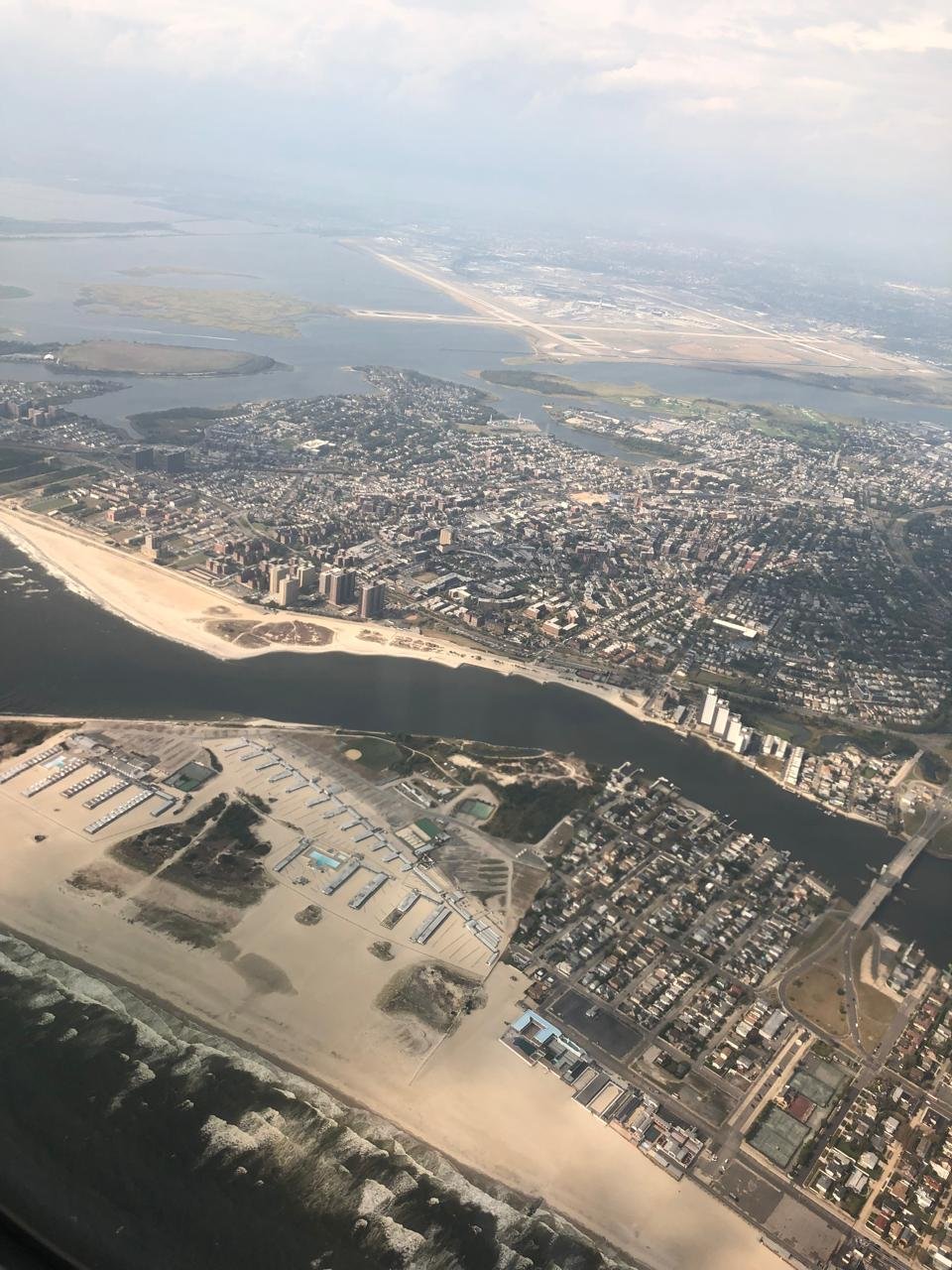
In some images the line of buildings runs along the beach. In others water reaches into the built land and concentrates movement at a handful of bridges. One setting puts the route along the coast in view; the other makes the crossing between shores the organising decision.

What stays visible from this height?
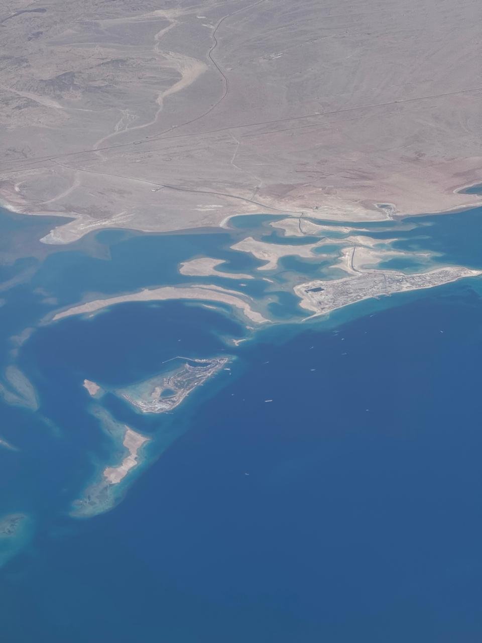
Above farmland the unit of reading changes again. Fields of different sizes and colours are threaded with roads and small settlements. The edges are visible from above. A visit would help distinguish a road, a drainage line and a property boundary.
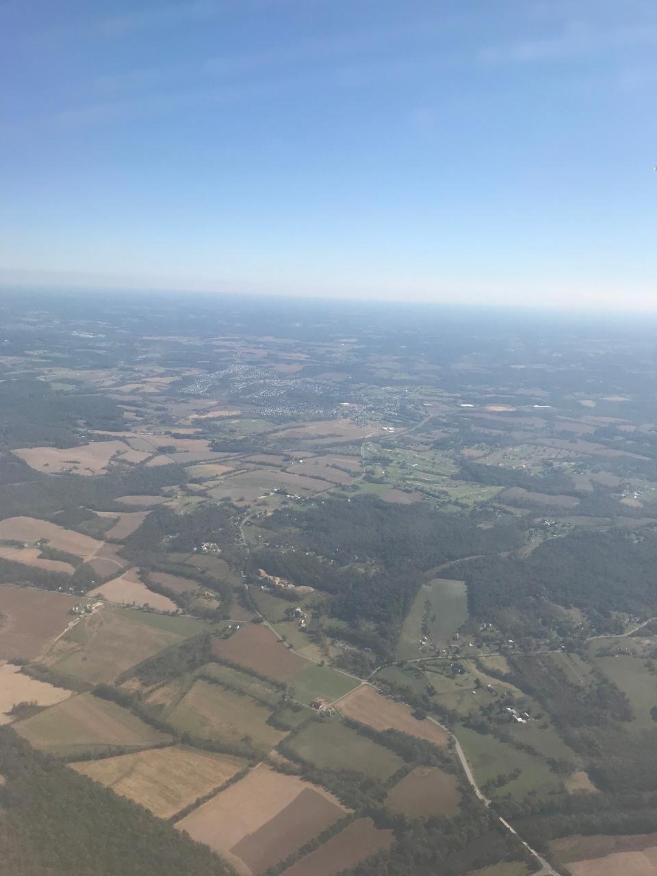
These photographs offer a first reading. The view compresses relationships of direction and distance, which a map and a site visit can then test. Captions name locations where the archive or landmarks support them and describe the visible scene where the location remains uncertain.
For a coastal view from street level, see the Yanbu field archive. For the effect of movement and glass on the image, see Move Art.